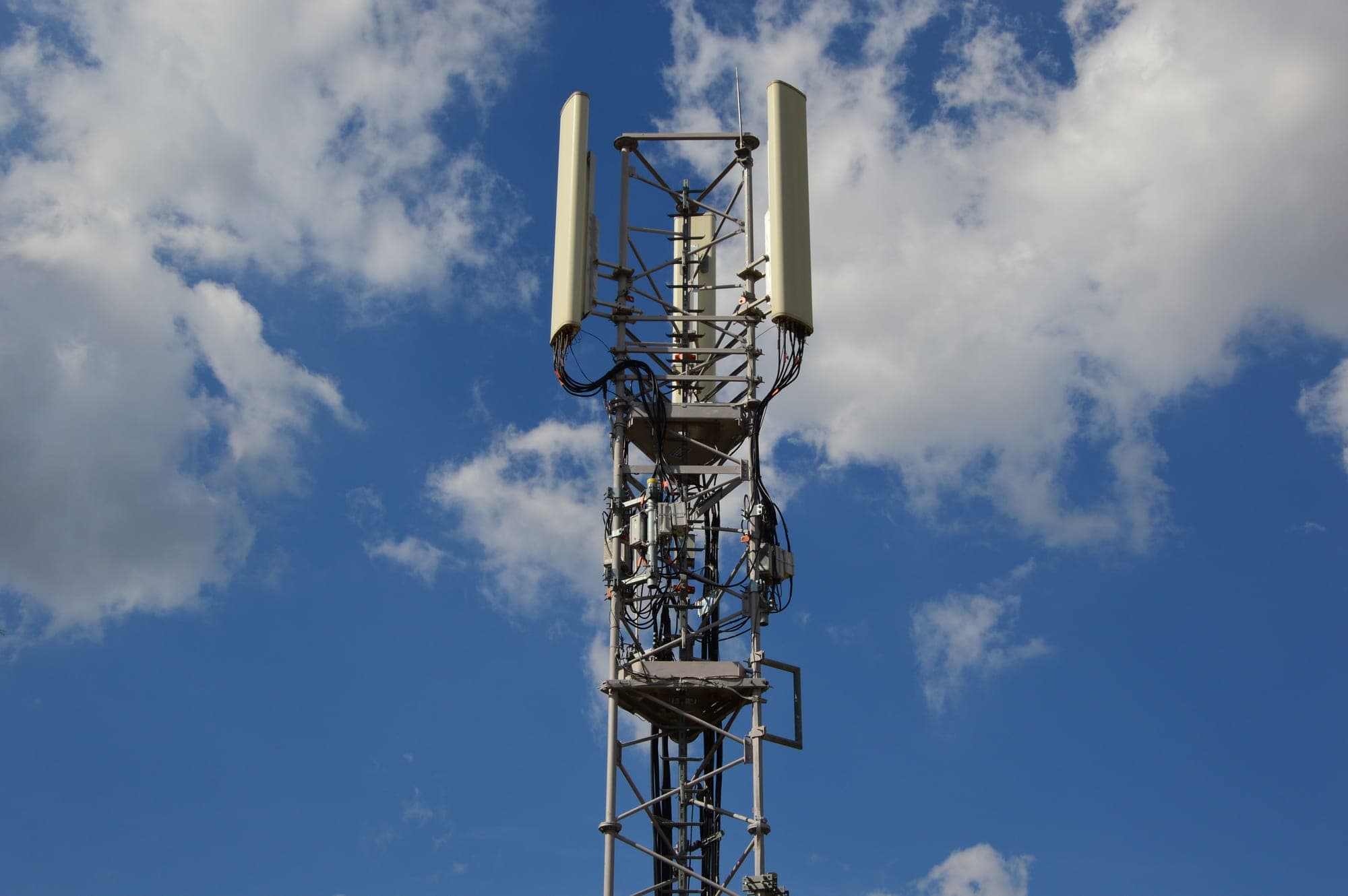
Physical Climate Risk Data Providers: How Financial Institutions Are Reshaping Climate Risk Management
Financial institutions can no longer assess risk using financial statements and historical repayment data alone. Floods can damage collateral, droughts can weaken agricultural borrowers, and cyclones can disrupt businesses and supply chains across entire regions.
Starting FY 2025-26, Indian financial institutions are also facing a formal regulatory push to identify and disclose these climate-related financial risks. Under the RBI's phased framework, commercial banks, all-India financial institutions, and top- and upper-layer NBFCs must begin governance, strategy, and risk management disclosures from FY 2025-26, with metrics and targets following from FY 2027-28.
For institutions that cannot quantify their exposure to floods, droughts, heatwaves, and cyclones, the challenge is therefore twofold: regulatory compliance and portfolio risk.
Physical climate risk data is becoming essential for Indian financial institutions as RBI climate disclosures make location-specific hazard and portfolio risk assessment increasingly important.
Written byArnav PatnaikProgram Manager, Founder's Office

Why Standard Financial Data Is No Longer Sufficient
Physical climate risk describes the financial harm caused directly by extreme weather and long-term changes in climate conditions.
Floods can damage property pledged as collateral. Droughts can reduce farm income and increase agricultural loan defaults. Cyclones can disrupt manufacturing, logistics, and supply chains, affecting the businesses a lender has financed.
A 2025 study published in the Applied Economics journal found that climate change increases non-performing loans in Indian commercial banks, with nationalised banks showing greater exposure than private banks. :contentReference[oaicite:0]{index=0}
RBI Governor Sanjay Malhotra, speaking at a climate risk policy seminar in March 2025, similarly highlighted how extreme weather, longer summers, and uneven monsoons have pushed climate risk from an intellectual debate into an active policy concern. :contentReference[oaicite:1]{index=1}
The core problem is data. Financial institutions often work with:
- Fragmented meteorological records across different formats and frequencies
- Limited standardised hazard and vulnerability datasets at portfolio level
- Incomplete location data for borrowers and collateral
- Limited tools for translating weather hazards into credit or collateral risk scores
This is the gap that physical climate risk data providers are increasingly designed to fill.
RBI's Climate Disclosure Timeline: What Financial Institutions Must Prepare For
RBI's proposed framework establishes a phased timeline for climate-related financial disclosures:
| Institution Type | Governance, Strategy & Risk Disclosures | Metrics & Targets Disclosures |
|---|---|---|
| Commercial Banks, AIFIs, Top/Upper Layer NBFCs | From FY 2025–26 | From FY 2027–28 |
| Tier-IV Urban Cooperative Banks | From FY 2026–27 | From FY 2028–29 |
| Payment Banks, RRBs, Local Area Banks | Excluded for now | Excluded for now |
Source: RBI Draft Disclosure Framework on Climate-Related Financial Risks; Business Standard.
The practical implication is important: climate risk is increasingly becoming part of the same institutional processes used for credit, market, liquidity, and operational risk.
What Do Physical Climate Risk Data Providers Actually Do?
A physical climate risk data provider collects, processes, and delivers location-specific information about climate hazards in a form that financial institutions can use.
The data typically falls into four categories:
- Hazard data: Flood frequency, cyclone tracks, drought probability, heatwave intensity, rainfall variability, and other physical hazards.
- Exposure data: Identification of assets, borrowers, properties, branches, or supply-chain locations situated within hazard-prone areas.
- Vulnerability data: Assessment of how sensitive a particular asset, sector, borrower type, or collateral category is to a specific hazard.
- Forward-looking projections: Estimates of how hazard intensity and frequency may change over 10-, 20-, or 30-year horizons.
A climate risk analytics platform then converts these inputs into metrics that a credit committee, risk officer, portfolio manager, or board can actually use.
For example, raw flood data is not itself a credit-risk metric. A financial institution needs to understand whether the flood exposure translates into higher probability of default, collateral impairment, concentration risk, or expected loss.
That is the distinction between general weather information and climate risk analytics.
Weather data tells an institution what happened or what may happen.
Climate risk analytics helps answer what that means for a specific loan book, investment portfolio, asset, or borrower.
How This Applies to an Indian Financial Institution Today
Consider a public sector bank with significant agricultural lending across Maharashtra, Madhya Pradesh, and Rajasthan.
These states have materially different drought, rainfall, heat, and flood profiles. A single national-level weather average tells the bank very little about the actual risk embedded in its portfolio.
A physical climate risk data provider could provide district-level, block-level, or asset-level hazard scores. The bank's credit and risk teams could then:
- Identify which PIN codes in its agricultural portfolio face the highest drought probability during the next crop cycle
- Assign higher expected-loss estimates to borrowers in high-hazard locations
- Adjust provisioning assumptions for concentrated climate exposure
- Incorporate climate risk into borrower and collateral assessments
- Identify portfolio concentrations that may become vulnerable under severe weather scenarios
- Build more robust stress-testing outputs for regulatory disclosures
This is where AI climate risk assessment becomes relevant.
By combining historical weather records, satellite observations, geospatial information, and machine-learning models, providers can generate forward-looking risk scores at significantly finer spatial resolution than traditional manual analysis.
Recent Advancements in Hyperlocal Climate Risk Data
India's climate-data infrastructure has also improved significantly.
The Ministry of Earth Sciences launched the Bharat Forecast System (BharatFS) in May 2025, providing high-resolution weather forecasts at approximately a 6-kilometre grid. This increases the availability of granular weather information that can support hyperlocal climate risk data and asset-level exposure analysis.
RBI also launched the Reserve Bank Climate Risk Information System (RBI-CRIS) on 29 May 2025. The system is designed to provide regulated entities with access to standardised hazard, vulnerability, and transition-risk datasets.
RBI-CRIS includes a publicly accessible directory of meteorological and geospatial data sources as well as a restricted component providing processed datasets to regulated entities.
Together, BharatFS and RBI-CRIS represent an important improvement in the data infrastructure available to Indian financial institutions.
For banks and NBFCs, the significance is not simply better weather forecasting. Better underlying data makes it easier to connect physical climate risk with specific borrowers, assets, branches, collateral pools, and portfolios.
From Climate Data to Financial Decisions
The real value of a physical climate risk provider is not the volume of climate data it collects. It is the ability to translate that data into financial decisions.
A simplified workflow looks like this:
Climate hazard → Geographic exposure → Asset vulnerability → Financial impact → Risk decision
For example:
Drought probability increases → Agricultural borrowers in a district are exposed → Rain-fed crops are highly vulnerable → Expected farm income declines → Probability of repayment stress increases → Credit risk assumptions are adjusted.
The same approach can be applied to other portfolios.
For an infrastructure lender, flood exposure can inform collateral and asset-risk assessments.
For an insurer, cyclone and rainfall exposure can inform underwriting and pricing.
For an NBFC, heat and drought exposure can help identify geographic concentrations of vulnerable borrowers.
For an investment manager, physical climate risk can become part of portfolio construction and long-term asset allocation.
This is why AI climate risk assessment and physical climate risk analytics are increasingly moving from specialist sustainability teams into mainstream financial risk management.
Where Physical Climate Risk Data Has Limits
Physical climate risk data is becoming more sophisticated, but financial institutions should not treat any dataset as a perfect representation of future risk.
Several limitations remain.
Historical Data Gaps
Many locations have incomplete or inconsistent historical records, particularly in regions with sparse weather-station coverage.
Shorter historical records can increase uncertainty in estimates of rare or extreme events.
Scenario Dependency
Forward-looking risk scores depend on assumptions about future climate pathways.
Two providers can therefore produce different risk estimates for the same location if they use different climate models, scenarios, time horizons, or methodologies.
Financial institutions need to understand these methodological differences rather than treating a single score as absolute.
The Translation Gap
Hazard exposure does not automatically equal financial loss.
Knowing that a borrower's factory sits in a flood-prone area does not by itself establish the probability that the borrower will default. Financial institutions still need internal models that connect physical hazards to revenue disruption, operating costs, collateral values, insurance coverage, and repayment capacity.
Data Latency
Climate and weather datasets are updated at different frequencies.
For long-term strategic planning, this may not be a major issue. For seasonal agricultural lending or rapidly evolving flood and drought exposure, however, a dataset that is several months old may not accurately represent current conditions.
Geolocation Quality
The quality of climate-risk analysis is also dependent on the quality of portfolio location data.
If a bank knows only the district where a borrower operates, it cannot assess risk as precisely as it could with accurate property, farm, branch, or business coordinates.
This makes portfolio geocoding an important part of building effective climate risk management systems.
Wrapping Up: From Climate Data to Climate Intelligence
The question for Indian financial institutions is no longer whether climate data belongs in financial planning.
The RBI's climate disclosure framework has made climate risk identification and management an increasingly formal part of financial governance.
The more important question is whether institutions have the data infrastructure and analytical capabilities required to quantify that exposure accurately.
India's public infrastructure, including RBI-CRIS and BharatFS, is raising the baseline for climate information available to financial institutions. Private physical climate risk data providers and climate risk analytics platforms can build on that infrastructure by converting raw hazard information into portfolio-level intelligence.
The institutions that make this transition effectively will not simply be better positioned for regulatory compliance. They will have a more complete view of where their balance-sheet risk actually sits.
Time to Map Your Climate Exposure?
Start by identifying which parts of your lending, investment, or insurance portfolio are located in high climate-hazard zones.
Public resources such as RBI-CRIS and BharatFS can provide a starting point. For institutions managing large or geographically distributed portfolios, working with specialised physical climate risk data providers can help turn that information into actionable risk intelligence.
00 Comments
Start the conversation
Be the first reader to share a thoughtful response.
Leave a Reply
Your email address will not be published. All comments are reviewed before appearing publicly.